Early Parish Boundaries
The original Heathcote-Sumner parish divided into three in the 1870s. The railway formed the principal dividing line in a zig-zag from Ferry Road to Port Hills.
The property references in the original boundary description can be traced on the “black maps” compiled between 1850 and 1870 (see Figure 1 below):
“a line along the Eastern Boundary of Section 248 and 245 to the Railway, thence along the Railway to S.W. corner of Section 64, thence in a direct line to S.W. corner of Section 20, thence along the S.W. boundary of Section 20, in a direct line to Ensor’s Road, thence along Ensor’s Road to the Ferry Road”
We can follow the original boundary on modern street maps (see Figure 2 below):
From Port Hill Road, a line northwards along Chapmans Road to the Railway, then westward along the Railway to Radley Street, then northwest parallel to Wildberry Street directly to Ensor’s Road, then northwards along Ensor’s Road to Ferry Road.

Figure 1: Original Parish Boundary (1875) overlaid on historic survey maps (Black Maps)
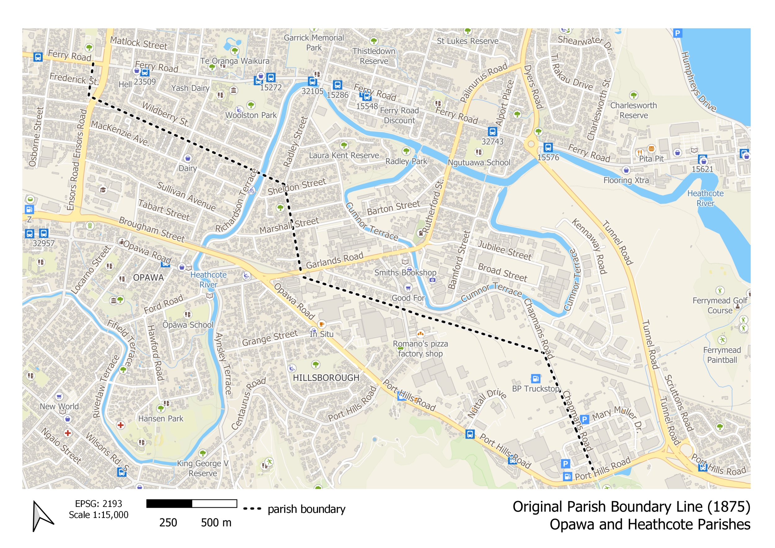
Figure 2: Original Parish Boundary (1875) overlaid on a modern street map